Explainer
Evening Pulse: Read the warning dates before the cyclone headlines
The official October24 calendar puts the heavier rain risk later in the week; precise private forecasts remain conditional.
Pan India Pulse deskBased on reports from IMD Hyderabad, Sakshi Post, Metro India, Hyderabad Mailతెలుగులో చదవండి
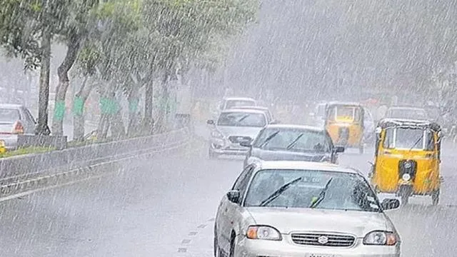
Telangana’s evening update moves the water conversation from this morning’s planned treated-water service to a nearer public-information test: reading the weather calendar correctly. The IMD Hyderabad subdivision page inspected tonight is dated October24. It lists no warning for October24, 25 and 26, thunderstorms for October27, extremely heavy rain for October28, and heavy rain with thunderstorms for October29. These are forecast categories for a region, not observations of conditions already experienced everywhere.
Sakshi Post’s Saturday afternoon report independently describes a developing Bay system and the potential for later-week rain. Its headline points to Hyderabad from October25, but the body distinguishes an independent forecaster’s cooler-night and cyclone outlook from the IMD’s later rainfall forecast. That distinction matters. A reader who sees only the headline could mistake a private projection for an official immediate severe-weather classification. This desk uses the dated official sequence for the warning calendar.
The same report explicitly says the IMD had not classified the system as a severe cyclonic storm. Its stronger language about intensity and crossing position is attributed to independent forecaster T Balaji. Tonight we do not adopt that intensity, a final storm name or an exact landfall as established fact. A later official classification could change the account. Until then, the defensible report is a developing risk with an identifiable future warning window, rather than a completed meteorological event.
There is also an important difference between no warning and a promise of no rain. A subdivision warning is not a street-level guarantee. Conversely, a warning for an extremely heavy-rain category does not mean that every district or Hyderabad neighbourhood will experience the same conditions. Residents planning travel, outdoor work or school journeys need the applicable local forecast and current administrative instructions. This edition does not infer closures, cancellations or emergency declarations from a weather category.
The contrast with the morning water story is useful without being contradictory. Treated-water tankers were a proposed service for non-drinking demand; a possible heavy-rain spell concerns a different timescale and management problem. Neither a service announcement nor a forecast proves an immediate improvement in water availability. Public services need to communicate the scope of each measure and the conditions that could change it. Those distinctions help readers avoid treating every water headline as the same development.
Tonight’s watch is specific: whether the next dated IMD issue changes the warning window, whether district-level detail becomes clearer, and whether authorities issue operational instructions. Forecast evolution is normal and should be reported openly. A later revision would not, by itself, prove that earlier forecasters acted dishonestly. What matters is whether the publisher identifies the source, date and uncertainty rather than silently turning a conditional assessment into a certainty.
Strategies and tactics: the evidence
Analysis by the Pulse deskThe October24 official warning page and the same day’s Sakshi account show how a staged forecast becomes several different headlines. The observable mechanism is information compression: dates and attribution can disappear when a conditional forecast is shortened. This is an editorial reading, not evidence that outlets or officials coordinated to deceive readers.
A serious alternative is ordinary headline shorthand during an evolving forecast. The concern would weaken if subsequent coverage clearly identifies official versus private assessments and updates the dates. A current district bulletin is more useful than a forced historical analogy. Can public information stay precise enough for residents to act without treating uncertainty as either panic or reassurance?
What to watch
- Next dated IMD Hyderabad bulletin.
- District-level timing and warning changes.
- Any actual transport or education order.
- Official classification rather than private landfall claims.
Your take
Do you agree with the Pulse view?
Sources
- October24 Telangana warning calendar IMD HyderabadPrimary document
- October24 report distinguishes private and IMD outlooks Sakshi Post
- October24 tanker preparations after Friday review Metro India
- October19 dated background on November1 service Hyderabad Mail
This piece is analysis written only from the published reports listed above. Pan India Pulse does no original reporting. How this site works