Politics
Morning Pulse: IMD warns of very heavy rain on October 28
Today’s official warning keeps rain and thunderstorms in focus; earlier forecasts identify the eastern belt.
Pan India Pulse deskBased on reports from IMD, The Times of Indiaతెలుగులో చదవండి
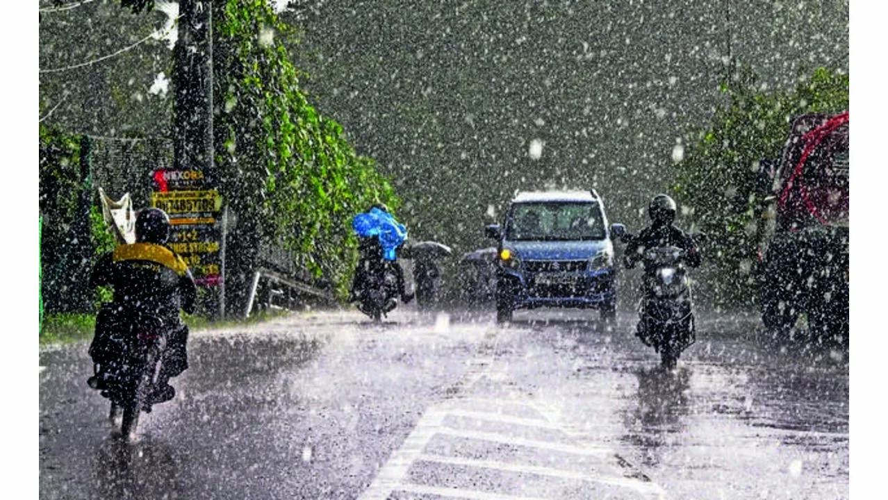
The India Meteorological Department’s October 28 subdivision warning lists very heavy rain and thunderstorms for Telangana today. It retains thunderstorm risk for October 29. Wednesday is the immediate weather priority as Cyclone Arnab begins its coastal landfall to the east. This is a forecast of hazardous conditions, not an observation that every Telangana district has already recorded very heavy rainfall.
The Times of India’s October 26 report supplies district detail behind the preparation window. It identified Mulugu, Bhadradri Kothagudem and Khammam for the highest warning, with an orange alert in Jayashankar Bhupalpally, Mahabubabad, Warangal, Hanumakonda and Suryapet. Those district designations belong to that dated forecast. Residents should use the latest district bulletin for subsequent changes rather than assume the older map remains unchanged.
Hyderabad’s forecast in the same report differed from the eastern districts. It described light to moderate rain or thundershowers and gusty winds, with lower anticipated impact across city zones. That distinction matters for travel between Hyderabad and eastern Telangana: a less severe city forecast cannot be applied to Khammam or Mulugu, and warnings there are not evidence that every Hyderabad road will flood.
The earlier report placed the spell against a dry October. Using IMD figures, it gave 3.5 mm of rain against a normal 75.6 mm between October 1 and 21. This is dated background to concern about water availability. A wet spell does not by itself establish that the deficit has disappeared or that reservoirs and groundwater have recovered. The amount and distribution of measured rain will be needed to assess that change.
Today’s official page confirms the present broad hazard category, while the newspaper explains the district pattern anticipated before coastal landfall. Neither supplies a complete Wednesday tally of flooded roads, school closures or damage. The official issue lists thunderstorms on October 29 and no warning from October 30, subject to later revision. Any closure or reopening should be linked to its issuing authority and locality, rather than inferred from the state forecast.
The October 26 account also anticipated gusty winds of 30–40 kmph for Hyderabad during October 28–29. That is a dated city forecast, distinct from the current subdivision warning and from wind speeds measured at an individual station during the day.
The dated district forecast also expected rainfall to spread to many places on October 28, with isolated heavy rain potentially continuing on October 29. Its Sunday issue and today’s shorter subdivision warning have different levels of detail. The three eastern districts were not the only places where showers were expected, but the forecast did not assign the same risk everywhere. Comparing the new measured totals with those locations would help identify where warnings matched events and where conditions differed. That comparison requires observation periods to align; a short burst measured at one station cannot simply replace a whole-day district assessment.
Political Alignment Lens
Article framing only. This does not establish publisher affiliation, reader beliefs or voting intent.
Pulse view
Analysis by the Pulse deskTelangana can welcome rain after a dry period while preparing for local hazards on October 28. The distribution and intensity will determine whether the spell replenishes water sources, damages crops or disrupts travel.
The first check is how measured rain compares with the forecast, especially in the eastern belt. Reduced broad warnings would not automatically settle conditions on every local road. What district information would help people prepare without treating the state as one weather zone?
What could happen next
Conditional scenarios based on current reporting, not confirmed plans or election forecasts.
If the heaviest rain concentrates in the east, local disruption may differ sharply from Hyderabad.
The current official warning and earlier district forecast describe differing scales of risk.
Watch for: Measured district rain and locality-specific administration notices. Reporting behind this scenario
What to watch
- Updated district warnings for October 28–29.
- Measured rainfall with clear observation periods.
- Local service and road notices.
Your take
Do you agree with the Pulse view?
Sources
- October28 official subdivision warning IMD
- District forecast and October rainfall context The Times of India
This piece is analysis written only from the published reports listed above. Pan India Pulse does no original reporting. How this site works